ClimSA Training of Trainers: PUMA-2025 station application resources for meteorologists and trainers (Open access)
Topic outline
-
-
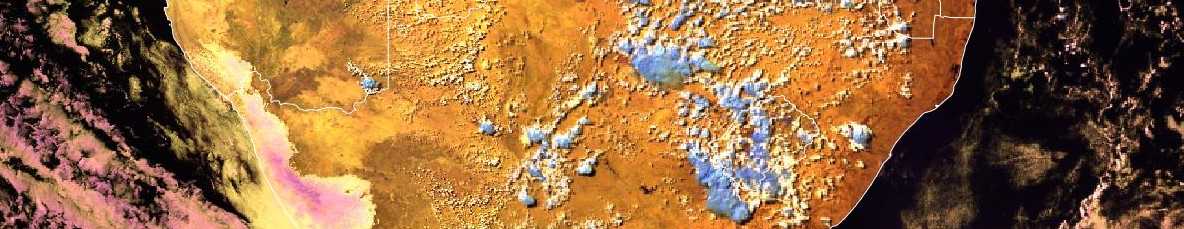
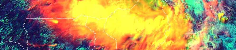
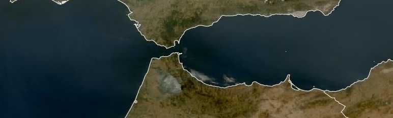
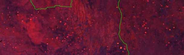
A series of short examples on how to display and interpret MTG satellite products using the PUMA-2025 system
-
-
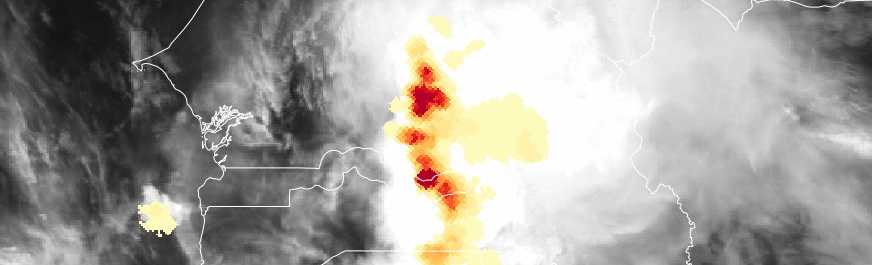
Work through the interactions to test your knowledge on the Lighting Imager Accumulated Flash Area product
-
-
-
-
-

-
A series of short videos demonstrating how to display various products using PUMA2025, including:
- Satellite
- Single Channels
- RGBs
- NWP
- Meteorological Dissemination Data(MDD)
- Satellite
-
Videos demonstrating how to create multiple displays in PUMA2025 and how to adjust the colour pallets.
-
A series of short videos which demonstrate how to create various overlays in the PUMA2025 system, these include:
- Satellite and NWP
- NWP with NWP
- Satellite and MDD
- Satellite and LI AFA
- Satellite Sandwich products
-
Videos demonstrating how to manipulate the grid settings in PUMA2025 and how to download animations and still images from the system.
-
Videos demonstrating how to display Emagrams and how to ingest Eumetview data into PUMA2025.
-
-
For more information on Flexible Combined Imager, click the link to view the resources.
-
For more information on Lightning imager, click the link to view the resources.
-
-
-

If you wish to find them in the PDF format, these are also available through the EUMeTrain web pages (under a 'Quick Guide' tab):
https://eumetrain.org/user-manual
-
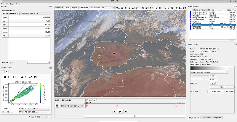
Here you will find the recorded webinar explaining what the tool is and how to use is for different visualisation purposes. A link to a place where the tool can be downloaded for free is available as well, or grab the version you wish from here:
https://bin.ssec.wisc.edu/pub/sift/dist/experimental/?C=M;O=D
-

Jupyter Notebooks of interest under this EUMETSAT Gitlab repository are: FCI_data_display.ipynb and LI_FlashData_Explore.ipynb
Following script will assist with data download: DataStoreLIRetrieve.ipynb
In the same Gitlab repository there is a 'README.md' file that explains how to setup your Python environment to run the scripts.
-

Webinar recording about how to use SIM tool is available on Youtube: https://youtu.be/-CEHn4U0808?si=9Wtpcaky_dXJMV6K
-

This guide describes the specifics of the tailored Meteosat Third Generation (MTG) FCI level 1c and level 2 data disseminated by EUMETCast Africa, which form the MTG Africa data service. The bandwidth for the dissemination of products via EUMETCast Africa is very limited. Consequently, the MTG data needs to be tailored in order to provide the best fit for the needs of the African user community.
-
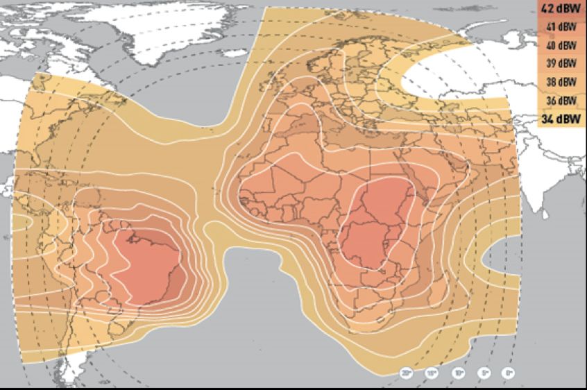
This guide provides information on the EUMETCast Africa Service, and different aspects of setting up a reception station.
Additionally, these two guides may come as handy:
EUMETCast Satellite Antenna Pointing Guide: https://user.eumetsat.int/resources/user-guides/eumet-cast-satellite-antenna-pointing-guide
Troubleshooting guide: https://user.eumetsat.int/resources/user-guides/eumet-cast-troubleshooting-guide
-
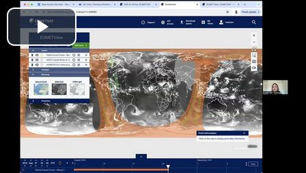
Under this link you will will find recorded webinars for different services like EUMETView, Data Store and Data Taylor
-