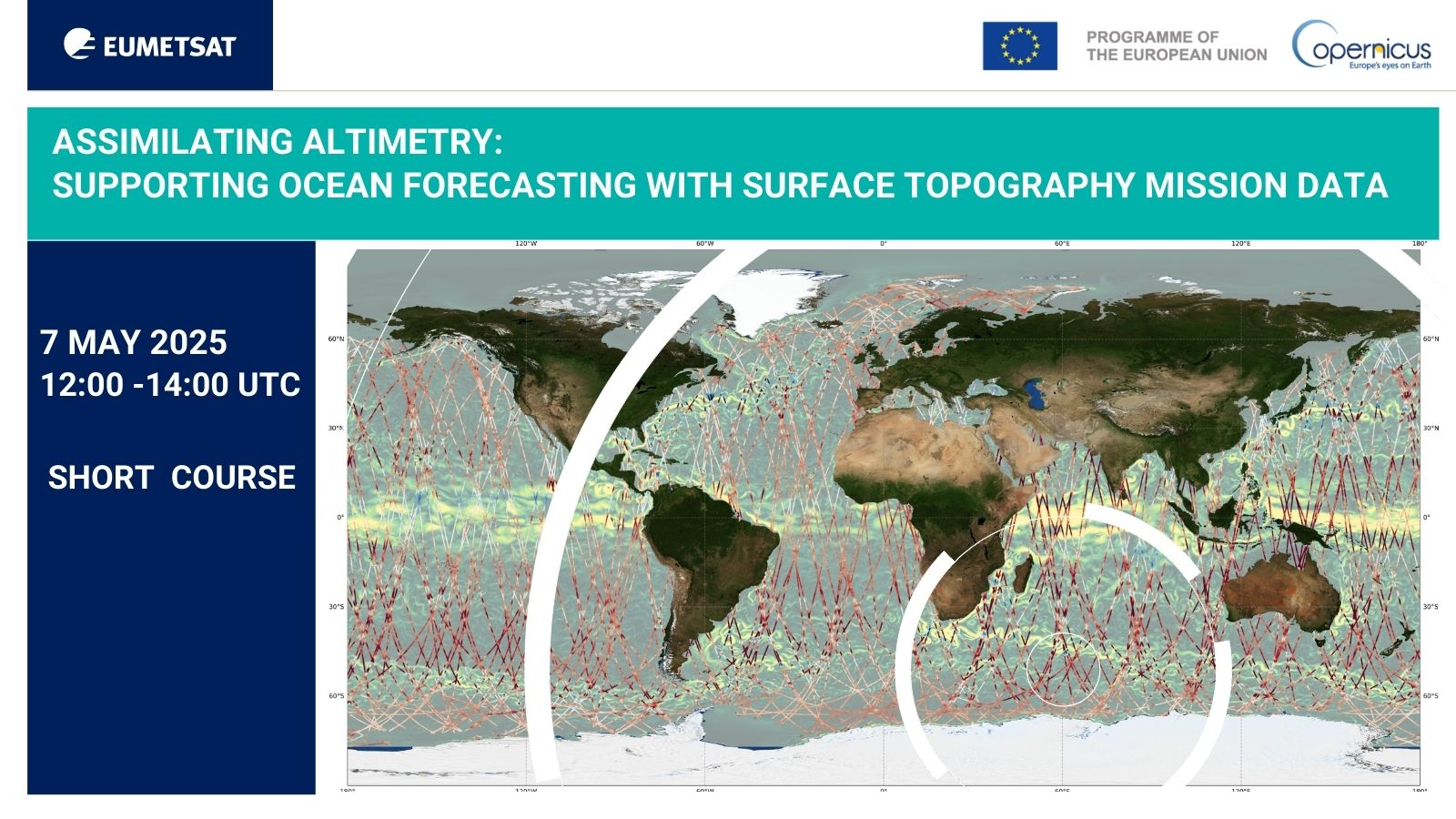
Short_course_49_Assimilating altimetry: supporting ocean forecasting with surface topography mission data
Topic outline
-
Webinar with Vinca Rosmorduc, CLS, Ben Loveday, EUMETSAT and experts from Mercator Océan International
Register here for this short course on 7 May 2025, 12:00 - 14:00 UTC
Predicting the state of the ocean allows us to determine its likely effect on weather, to advise on maritime operations and safety, and to better understand long-term climate trends. At their heart, the ocean forecasting systems that make these predictions use mathematical models and physical laws to describe the evolution of the ocean in four dimensions, analogous to the approaches meteorologists use to forecast the weather. These models allow us to inform future ocean circulation and sea state. To make these predictions as reliable as possible, a large volume of frequently updated measurements has to be included in the models via assimilation. While these measurements include situ observations, satellite altimetry is a particularly valuable data source, providing a near-global, high-density record of sea surface heights that integrate what is happening from the ocean floor to the surface. Consequently, these models rely extensively on the near real-time and multi-decadal data streams provided by operational satellite altimetry missions, including those under the Copernicus Programme, Sentinel-3 and Sentinel-6.
The short course will consist of a 2-hour webinar on May 7 (12:00 - 14:00 UTC). During the event we will describe the relevant altimetry data sets for ocean forecasters, giving practical examples of how to handle them in the form of open-source Jupyter Notebooks. Following this, ocean forecasting experts will detail how these data sets are incorporated into their systems, giving examples of relevant applications of the systems, and providing their perspectives. The course will be led by experts from both EUMETSAT and Mercator Ocean International, who together bring extensive expertise in altimetry and the development of ocean forecasting systems. The webinar will conclude with a Q&A and feedback session.Agenda
A full agenda will follow shortly.
-
Forum
-
-
We'll meet you on Zoom Webinar
Zoom is a web-based video conferencing tool with a local, desktop client and a mobile app that allows us to meet online. You do not need an account to join the session. To join, simply click the link provided when registering. You can register for the course via our event page at https://trainingevents.eumetsat.int/trui/events/2545. (Troubles joining?)
Here are a few tips you may consider:
- For better audio quality, please prepare a headset with a microphone.
- Join 5-10 minutes early to test your audio. Here is how to do it.
- Use your real name.
Need help in Zoom?
We want to make sure you get support when you need it. During the session, please use the Chat window and select Send to: Support to send a message to our colleagues who can help you.
Your questions on Slido.com
During the webinar, we will be using Slido to answer your questions. Go to Slido.com and use #EUMSC49 or click here. No log in is required. You can also join Slido from your phone.
Course access
This page will remain openly accessible until 1 day before the course commences. To access the course materials after this time, you will need to register, for free, for an account on our Moodle platform. You can register for an account at https://classroom.eumetsat.int/login/signup.php. Please include your Moodle username in the course registration form. Once you have an account you will be able to enroll in the course.
Enrolling in the course will allow you to:
- access the course materials long term
- access the webinar recording (which will also be posted on YouTube)
- ask follow up questions to the trainers
- receive a course certificate upon completion of a short assessment and feedback form
-
Recording of the session and additional course material will be shared under this section.
-
Our training activities support users in the member states and among the World Meteorological Organization (WMO) members in the application of EUMETSAT data, products, and services, including Copernicus data provided by EUMETSAT. Find our more at our web page.
Subscribe to the Training Bulletin the joint EUMETSAT, EUMETCAL, EUMeTrain newsletter on new activities and resources in European meteorological training — published every quarter.
Contact us for questions about training events and professional development opportunities at training@eumetsat.int.
Follow us on Twitter @eumetsat_users.