satellite image - East Africa Region

satellite image - East Africa Region

by Jonah Kazora -
Number of replies: 1

This post has moved from the Webin@r Checklist session.

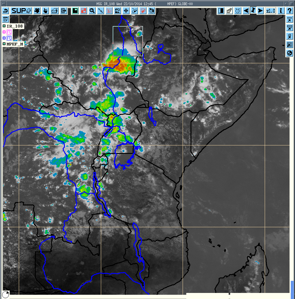
i used satellite image for yesterday at 12:45Z was indicating strong activities of precipitation in our region(East Africa Region+Ethiopia )

(Edited by Maja Kuna - original submission Thursday, 23 October 2014, 10:38 AM)

Attachment T.SAT1245.gif
In reply to Jonah Kazora

Re: satellite image - East Africa Region

by Sarah Kimani -

Dear Jonah,

Thank you for sharing the image, clearly shows the severe convection in Sudan and the surrounding East African countries. Tanzania and Kenya did not experience much activities. 

Regards,

Sarah.