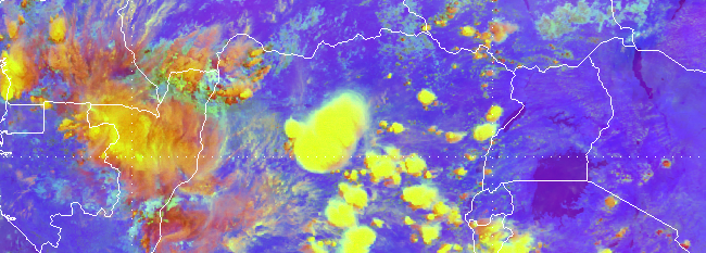
This online facilitated course teaches forecasters how to identify various synoptic-scale and mesoscale systems and features and their characteristics in satellite imagery. The systems and features include: anticyclones, ITCZ, tropical lows, convective systems, dust storms, fog and low clouds. Note that the course only addresses system/feature identification in satellite imagery; it does not cover forecasting.
8 May - 16 June 2017 20-24 November 2017, Nairobi & Pretoria
