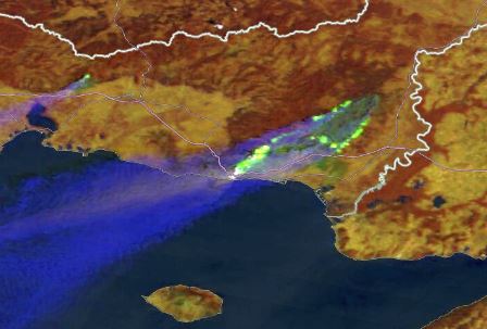
Identify geographical features and surface characteristics and conditions through images and satellite products. Although surface features are not the main purpose of meteorological forecasting, being able to identifying and distinguish them from atmospheric features can be useful. More specific in-depth usage of satellite data in specialized areas, such hydrology, climatology and agrometeorology, is not currently considered.
Expected Learning Outcomes
At the end of this module students should be able to identify the following:
- Terrain and geographical features.
- Surface characteristics and conditions, including dry/wet, different vegetation types and clear areas, sand and desert.
- Identify snow/ice cover and analyse its extent.