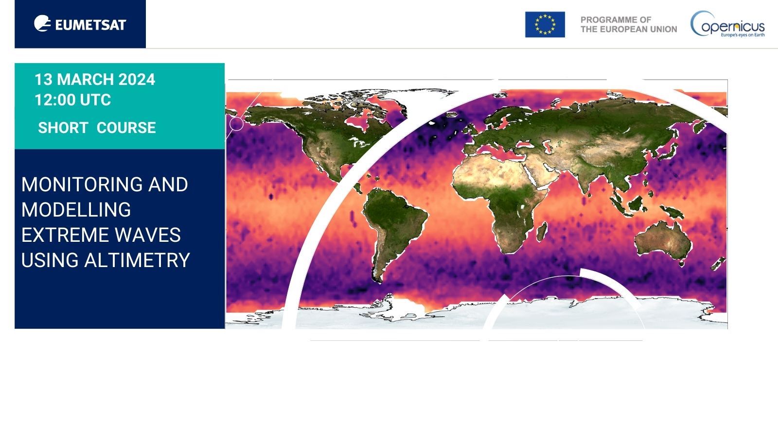
Short_course_44_Monitoring and modelling extreme waves using altimetry
Section outline
-
Webinar with Vinca Rosmorduc, CLS, Alice Dalphinet, Météo France, Ben Loveday, EUMETSAT, Hayley Evers-King, EUMETSAT.
13 Mar 2024, 12:00 UTC
This advanced event will focus on the application of satellite altimetry measurements to monitor and forecast extreme waves. It will present some technical background on how significant wave height products are derived from the radar altimeter measurements.
Leading experts will then present the use of satellite wave measurements, from altimeters but also other complementary satellite sources for marine weather applications, including through their use in models.
A practical demonstration will show the retrieval of data at EUMETSAT and their use at a basic level.
The short course will consist of a 2-hour webinar on March 13 (12:00 - 14:00 UTC), which will include a Q&A and feedback session. To support participants in using the data sets and tools we highlight, we will keep the online Q&A platform open for one week following the webinar, responding quickly to any queries posted.
Target audience:
- Established and early career wave researchers.
- Operational weather forecasters.
- Private and public sector specialists engaged in marine monitoring activities.
- Previous attendees of
EUMETSAT Supporting Marine Applications courses that focussed on altimetry
& applications.
Expected outcomes
Participant will:
- Understand the altimeter significant wave height measurements, and the complementarity of other data sources
- Know how to access altimetry data at EUMETSAT.
- Understand why this is interesting for marine weather models & forecasts (global dataset, extreme & statistics, etc.), and what are the limitations
- Learn about recent developments (SAR-altimetry) & their impact on wave height measurements
- Know how to extract and use significant wave height.
Agenda:
The webinar will be broken into 5 sections:
- Welcome & introduction (EUMETSAT) (5 min)
- Measuring waves with altimetry (V. Rosmorduc, CLS) (20 min + 10 min quick questions/answers)
- Use of satellite data in extreme wave assessment & modelling (A. Dalphinet, Météo France) (20 min + 10 min quick questions/answers)
- Practical demo on data access & basic use (V. Rosmorduc, CLS) (20 min)
- Questions on the whole webinar
-
We'll meet you on Zoom Webinar
Zoom is a web-based video conferencing tool with a local, desktop client and a mobile app that allows us to meet online. You do not need an account to join the session. To join, simply click the link provided when registering. You can register for the course via our event page. (Troubles joining?)
Here are a few tips you may consider:
- For better audio quality, please prepare a headset with a microphone.
- Join 5-10 minutes early to test your audio. Here is how to do it.
- Use your real name.
Need help in Zoom?
We want to make sure you get support when you need it. During the session, please use the Chat window and select Send to: Support to send a message to our colleagues who can help you.
Your questions on Slido.com
During the webinar, we will be using Slido to answer your questions. Go to Slido.com and use #EUMSC44 or click here. No log in is required. You can also join Slido from your phone.
-
We will demonstrate two Jupyter Notebooks during the practical parts of the demonstration. These notebooks can be cloned from our ocean-case-study repository, which can be found in the ocean training group of our GitLab page (eumetlab). We will focus on the notebooks relevant to significant wave height.
Attendees may also be interested in our learn-sral and learn-s6 repositories, which contains information on working with EUMETSAT Copernicus products.
Recording of the session:
Session presentations:
- Introduction session (Hayley Evers-King, EUMETSAT)
- Measuring extreme waves from satellite (Vinca Rosmorduc, CLS)
- Using satellite data in extreme wave measuring and modelling(Alice Dalphinet & Lotfi Aouf, Météo-France)
-
Our training activities support users in the member states and among the World Meteorological Organization (WMO) members in the application of EUMETSAT data, products, and services, including Copernicus data provided by EUMETSAT. Find our more at our web page.
Subscribe to the Training Bulletin the joint EUMETSAT, EUMETCAL, EUMeTrain newsletter on new activities and resources in European meteorological training — published every quarter.
Contact us for questions about training events and professional development opportunities at training@eumetsat.int.
Follow us on Twitter @eumetsat_users.