Apply for Courses
Topic outline
-
In order to apply for most of the courses listed below you must be registered & logged in on this platform. Go to Log in (top right side) to log in or create an account.
Then select the course you are interested in, fill in the application form & submit it. You will be contacted as soon as the selection of candidates is completed.
For a comprehensive list of all our training, check out the calendar.
How to apply for a short course
-
This online course is an introduction to Artificial Intelligence (AI), Machine Learning and Deep Learning applied to Earth observation data. The aim of the course is to provide an overview of machine learning potential for EUMETSAT data and the main machine learning techniques, with hands-on modules using real world data. The course is composed of different modules, addressing both theory and practical examples.
The course will cover:
- The main branches of machine learning: Supervised and Unsupervised Learning
- Deep Learning
- Existing open source tools
- How to build AI workflows
- Hands on: classification, regression, clustering and image classification tasks
- Agents, bots and Large Language Models
Dates: 29, 30 April and 2 May 2024.
The course hours will be from 10:00 to 16:30 CEST each day, with a longer break from 12:00 to 13:30.
Deadline for applications: 18 April
Target Audience
Member State weather and associated services starting to work in AI/ML on weather data.
The course is aimed at people with little prior knowledge. You will need to be comfortable to edit some python using Jupyter notebooks.Expected outcomes
At the end of the course you will be able to:- understand how to address your problem using machine learning techniques;
- create your own workflow based on the templates provided in the course;
- find tools from the various existing libraries;
- appreciate the limitations of you knowledge and where to find expert knowledge.
How to apply
If you already have an account on this platform, use the link below to submit your application form.
Otherwise, please make sure you create an account: click on Login (on the top right section of the page), create a new user (Create an account), and follow the procedure. With your new account, please log in, then access the 'Apply for Courses' section, and submit your application form.In case of any problem, please contact the training team at training@eumetsat.int.
-
-
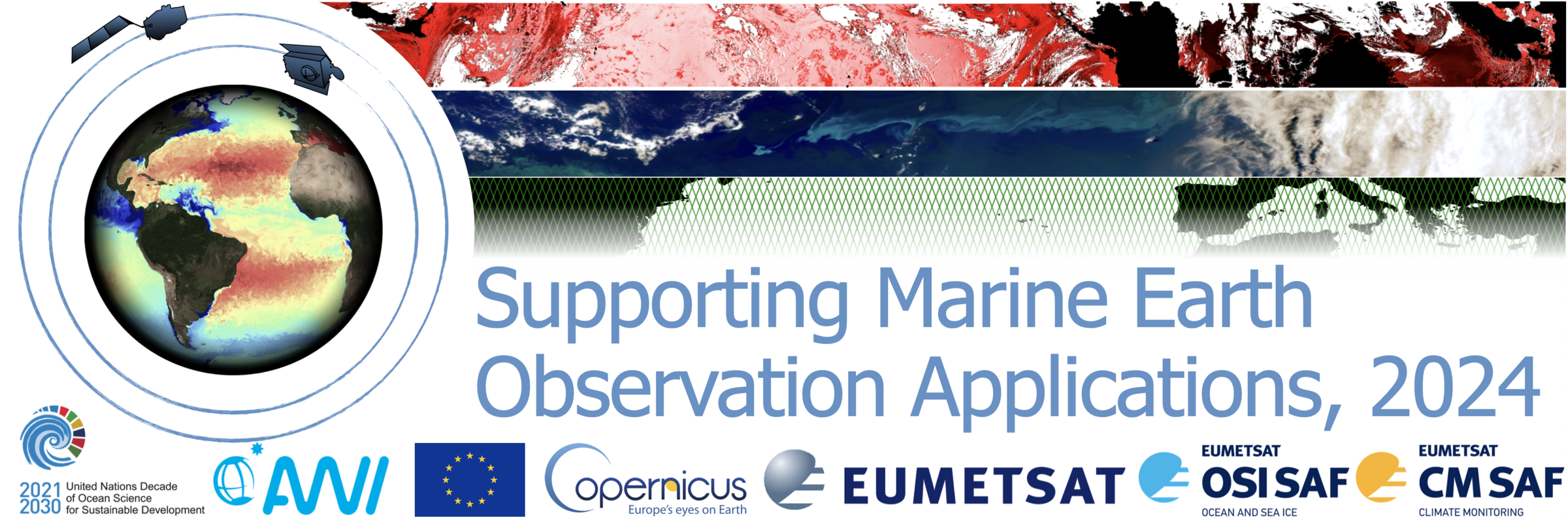
In early 2024 EUMETSAT will convene the next iteration of the “Supporting Marine Earth Observation Applications (SMA)” course, introducing you to our marine data catalogue and helping you develop workflows that support your own application-specific goals. If you wish to learn about, or work more extensively with, our ocean colour, sea surface temperature, altimetry, sea ice and/or wind data, then we encourage you to apply. This year, the course will be delivered in partnership with the Alfred Wegener Institute for Polar and Marine Research (AWI). We particularly encourage applicants working in the mid- and high-latitudes, where AWI have extensive experience with both in situ and satellite oceanography.
During this course you will learn how to independently access and process data from the EUMETSAT product catalogue for your marine workflows and applications. The focus will be on data streams from EUMETSAT Copernicus marine missions (Sentinel-3; Sentinel-6) and derived downstream products, those derived from Copernicus supporting missions, and those made available by the Ocean and Sea-Ice (OSI SAF) and Climate Monitoring Satellite Application Facility (CM SAF).
Training will take place entirely online and through two phases, which will be support by experts in the relevant fields;
The first, self-paced phase will take place between 26 February and 15 March 2024 and will take approximately 9-15 hours in total to complete. It will involve self-paced flexible learning through webinars, forums and technical checks (particularly for software installations), documentation and assignments.
The second, virtual classroom phase will be take place between 18 March and 22 March 2024 using Zoom and other collaborative tools. This phase will be made up of interactive tutorials, live demos, group work, and 1:1 meetings. During this intensive week, which will require 5-8 hours of participation each day, we will focus on co-creating a mini-project directly relevant to your application of interest.
During the course, you will;
- Learn about the specifics of the marine products that EUMETSAT provides (variables, timeliness, resolution, data formats) Select appropriate products from the EUMETSAT marine catalogue and access them using GUI-based and automated services
- Use relevant software tools, such as SNAP, and scripting languages, such as Python, to acquire, visualise and process Earth observation data from multiple sources
- Work with trainers to design workflows around these products and tools, tailoring approaches to the specific needs of a participant-defined application
Applications for this course are now closed.
-
ESSL and EUMETSAT organise a series of testbeds to prepare forecasters from the EUMETSAT Member States for data from Meteosat Third Generation (MTG) and Metop Second Generation (Metop-SG) satellites. These testbeds are organized both to teach forecasting severe convective storms using state-of-the-art or even experimental forecasting tools, and to evaluate such tools. At these events forecasters will learn by doing, by making severe weather forecasts and nowcasts using a mix of new nowcasting and forecasting tools, followed by a verification. Particular focus will be given to the use of proxy-MTG satellite data (e.g., from the NASA MODIS, NOAA VIIRS and Sentinel-3/OLCI instruments) and, once operationally available, real data from MTG in order to prepare forecasters for the use of next-generation satellite data. In addition, a range of state-of-the-art nowcasting tools and numerical weather prediction-based guidance (i.e. from DWD, ZAMG, ESSL, and ECMWF) will be evaluated.
Target group: Forecasters from the EUMETSAT Member States who train other forecasters and forecasters with a strong background in severe storms meteorology. A self-assessment test is available here.
Date & location
- 1-5 July 2024, ESSL Research and Training Centre (Wiener Neustadt, Austria)
- 7-11 October 2024, ESSL Research and Training Centre (Wiener Neustadt, Austria)
Weekly schedule: Please note that the course schedule will be Monday: 10:00 - 17:00, Tue - Thursday: 09:00 - 17:00 and Friday: 09:00 -13:00.
Candidates need to come from EUMETSAT Member States and have a nomination by their home institution. For accepted candidates, EUMETSAT plans to sponsor the cost of testbed attendance and, upon request, the cost for travel, accommodation and subsistence.
How to apply:
If you already have an account on this platform, use the link below to submit your application form.
Otherwise, please make sure you create an account: click on Login (top right section of the page), create a new user (Create an account) and follow the procedure. Once the account has been created, please log in, then access the 'Apply for Courses' section and submit your application form. If you have any problem, please contact the Training Team (training@eumetsat.int).
-
Questionnaire
-
To apply for the courses in the Short Courses on Data Discovery for Weather, Oceanography, Air Quality and Climate, please click here.