RA-I Basic Satellite Imagery Interpretation Course 2024
-
Week 2: Identifying Weather Features (opens 10 May)
 This second week of the course, we will learn to distinguish clouds in satellite images. The basic characteristics of clouds in the atmosphere are their height and their thickness. We will look how we can identify clouds by 1) their height: high, mid-level, and low clouds, and by 2) their thickness: thick or thin clouds.
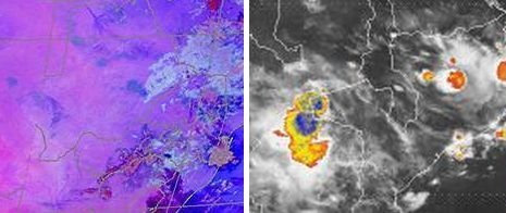
 Further, we will learn to identify two important cloud systems - Convective clouds, Fog/Low clouds and Dust. For this, we will use the satellite products learned in week 1.
-
-
 Tuesday, 14 May, 09:00-10:30 UTC - - Session was recordedAgenda:- Q & APresentation slides:
Identifying Clouds (Tshidi) (PDF)
Identifyingconvection, fog/low clouds and dust (Kgolo Dube, SAWS) -
Please find a satellite image or animation showing a interesting weather feature within your region. Paste the satellite picture and add a few words explaining the feature.Remember to add your name, the date and time and the name of the satellite product.After adding your image, remember to click the button
 above to complete this activity!
-