Satellite Applications in Land surface analyses Group for Eastern Europe (SALGEE)
Résumé de section
-
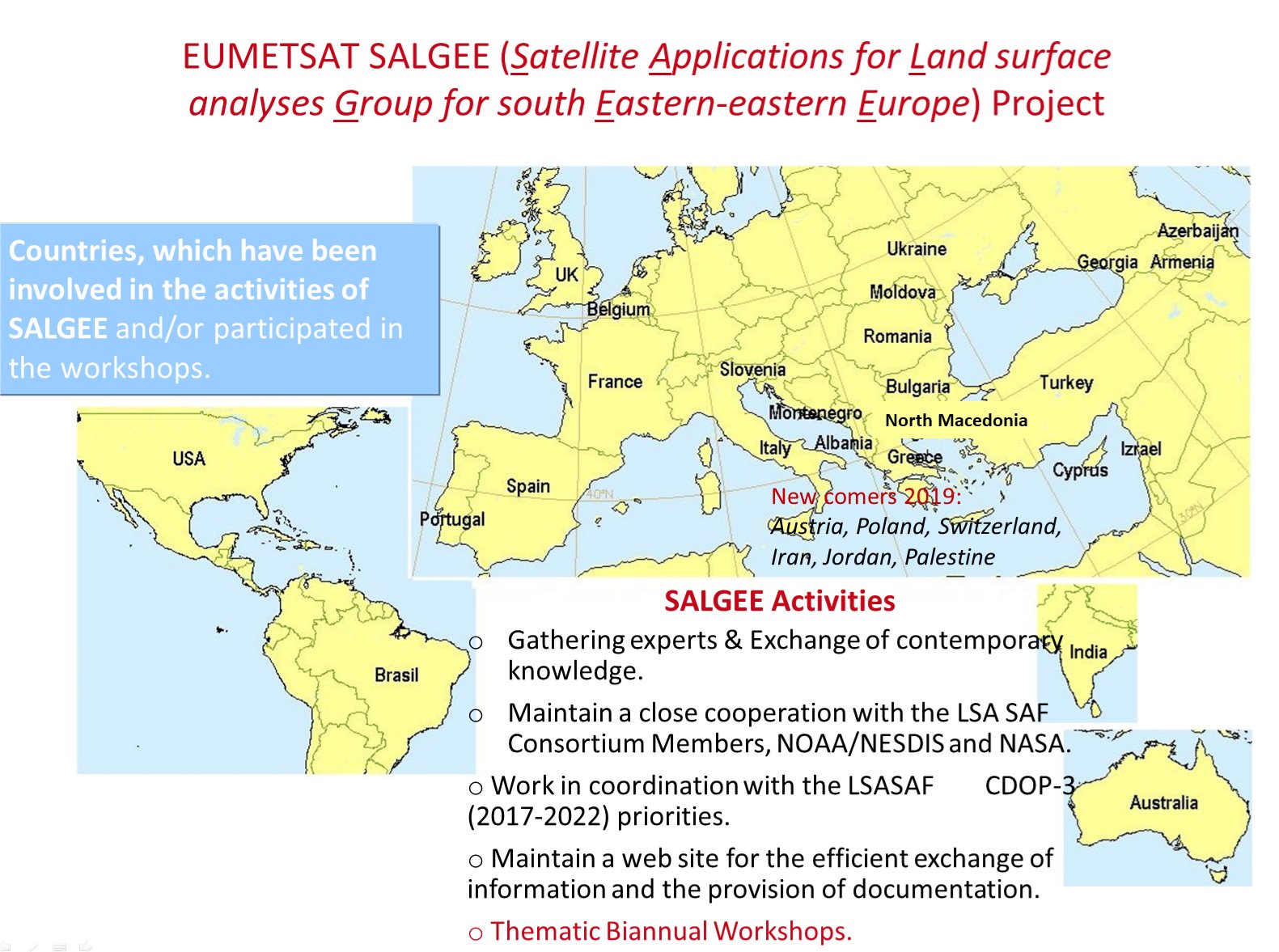
SALGEE, the Satellite Applications in Land surface analyses Group for Eastern Europe, was initiated as a project by the National Institute of Meteorology and Hydrology of Bulgaria in 2009. SALGEE activities run as a EUMETSAT Project for gathering experts in the field of satellite meteorology, to complement the activities of the Land Surface Satellite Application Facility (LSA SAF), with focus on the use of techniques and training in South-eastern and Eastern Europe, plus other regions of interest to take advantage of other environmental data. SALGEE coordinates with the LSA SAF consortium and was first announced during the CGMS-38, in 2010. The SALGEE Project has been implemented since, following the definition of Terms and references.
This web-page aims to provide information about SALGEE activities, to promote contemporary knowledge on land surface analyses from satellites for the target region, to make available recent training resources and, finally, to promote the LSA SAF programme of EUMETSAT (developed products and workshops) for the broader user community.
The LSA SAF is part of the distributed EUMETSAT Applications. It focuses on the development and processing of satellite products that characterise the continental surfaces, such as radiation products, vegetation, evapotranspiration and wild fires. The LSA SAF maintains a helpdesk service to answer any question related to its services and products at helpdesk.landsaf@ipma.pt.
Hosted by the Portuguese Institute for the Sea and Atmosphere (IPMA), LSA SAF is a joint venture of NMHSs and Universities together with EUMETSAT. Find out about LSA SAF workshops here.
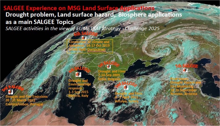
For resources from previous SALGEE workshops go to Read more on: Previous SALGEE workshops.
-
If you'd like to stay in touch with the community news and announcements, please use the Enrol me option under Administration -> Course administration (left side block). Keep in mind you will need to create an account on this platform before you can enrol. Use the Log in button to create an account.
-
In 2024, the SALGEE and the LSA SAF jointly organised the 2024 LSA SAF User Workshop.
This year, the workshop focused on the application of EUMETSAT land-surface data in the field of vegetation and drought monitoring.
During the workshop users of EUMETSAT land-surface data working in either research or operational services presented their studies and/or operational applications. EUMETSAT and the relevant SAFs were invited to present their existing and future products and services.
The Workshop provided a platform to discuss current and future user needs to consider in the evolution of EUMETSAT products and services.
At the end of the workshop, aimed to identify co-development projects to support interested users in jointly developing operational applications using EUMETSAT data, bridging the gap between research and operations. The European Weather Cloud (EWC) could be used as collaborating space. The workshop is by invitation only.
-
The main objectives of SALGEE are:
1. To support LSA SAF activities in user services and training to take full advantage of remotely sensed data (MSG and EPS) on:
- Land
- Land-atmosphere interactions and
- Biosphere applications.
2. To foster an integrated approach for research and operational activities in meteorology and climatology in support to the:
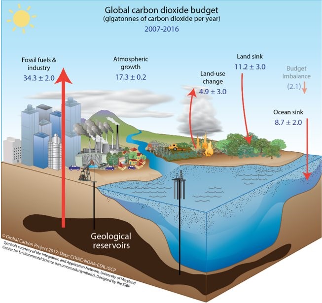
- Quantification of biogeophysical cycle
- Biochemical cycle and
- other related land surface processes in combination with information from in situ data, model outputs and satellite observations (accounting for the active role of vegetation).
Solar energy & Water cycle, source

3. Expert gathering & knowledge exchange


-
-
Presentations of drought and risc of fires assesment activities in National Meteo Services (Greece, Slovenia, FYROM)
-
Presentations of drought and risc of fires assesment activities in National Meteo Services (Greece, Bulgaria, Albania, FYROM)
